(●) Hi-Target
Surveying Solutions
RTK GNSS Receivers View All >
V700S NEW
Flagship RTK with laser scanner, dual cameras, AR stakeout and 1408 channels.
~$13,000
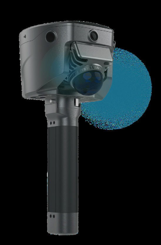
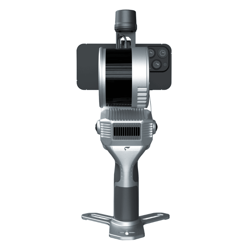
V600L
Laser RTK with IMU, dual camera and 15 km LoRa radio. 2 cm accuracy within 10 m in GNSS-denied areas.
~$7,000
iRTK5
1408-channel RTK with Hi-Fix, IMU tilt survey, 360° antenna and multi-protocol radio. Comes with iHand55 controller.
~$10,000
Total Stations View All >
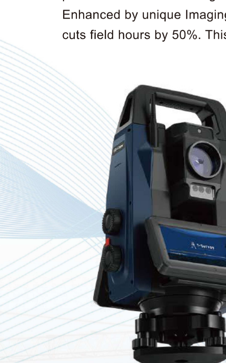
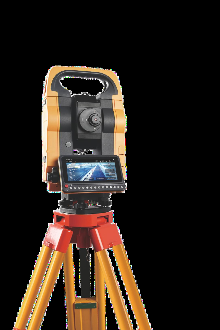
HTS-820
Robotic Total Station with AI prism tracker, smart imaging, 2" accuracy and 5000 m prism range.
~$12,000
HTS-720
Android Total Station with 8MP camera, visual stakeout, 1"/2" accuracy and 1000 m reflectorless range.
~$8,000
GNSS Network / CORS View All >
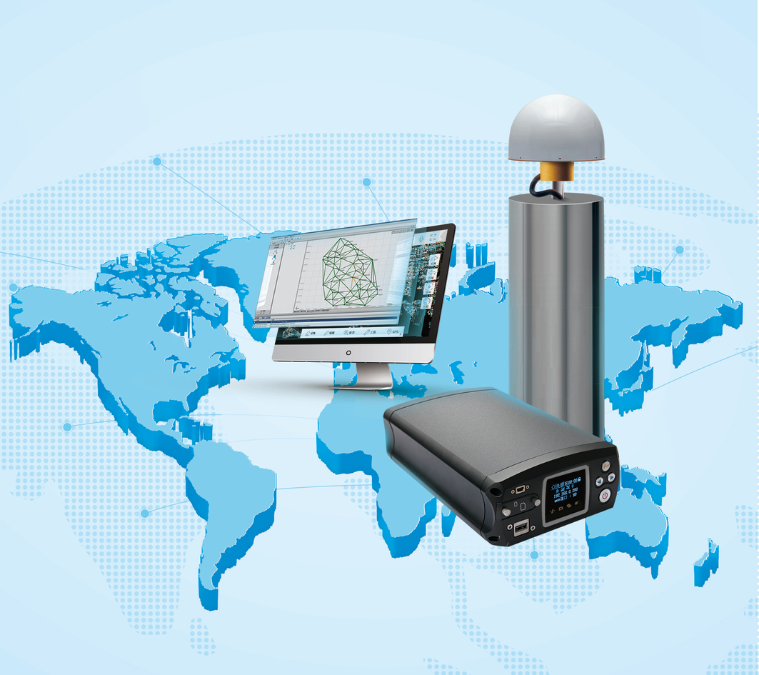
VNet8
1408-channel reference receiver for CORS/VRS. 64GB storage, 15+ hours battery, IP68 and secure communication.
GNSS Antennas

AT-45101CP
3D choke ring antenna, IGS/NGS certified.

AT-4500
Full-band high-precision GNSS antenna.

AT-35101H
Geodetic surveying antenna.

AH-4236
Compact antenna for drones and robots.

AH-3232
Ultra-compact antenna for UAV/USV.
FJD
Smart Surveying Solutions

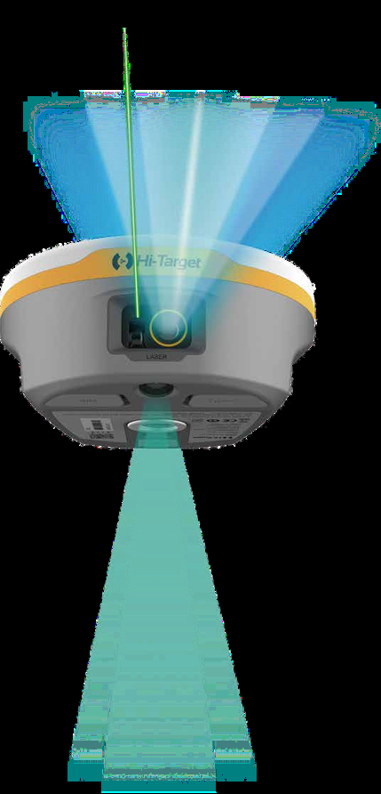
FJD Trion V10Li NEW
Laser RTK System with visible green laser, 2MP night-vision camera, AIM+ interference suppression, auto-alignment and 2nd gen IMU.
2 cm Accuracy
5 m Laser Range
AGC up to 80 m
~$8,000
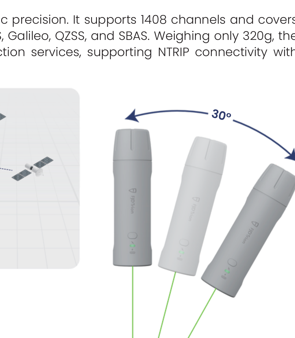
FJD Trion V4E Mini RTK
Pocket-sized RTK receiver (320 g) with 1408 channels, IMU tilt survey, LiDAR rangefinder and 12+ hours battery life.
H≤0.8 cm + 1 ppm
30° Tilt Survey (Pro)
IP67 & 1.2 m Drop
~$4,000
GEOSLAM
LiDAR & Mapping Solutions
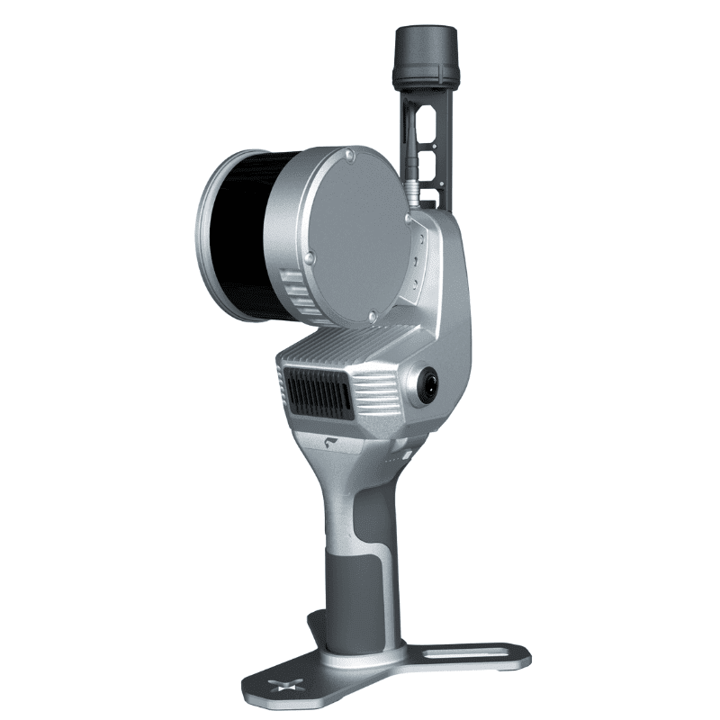
GeoSLAM 200 e
Handheld LiDAR scanner designed for fast, accurate 3D data capture in any environment.
GeoSLAM 200
Advanced mobile mapping system delivering high-quality point clouds quickly and efficiently.
GeoSLAM Software
Powerful processing software for point cloud data, registration, visualization and deliverables.