Geodetic & Control
2.5mm+0.1ppm static. The tightest specs in the lineup for control network establishment and high-order survey campaigns.


The V10Li doesn't compromise. It stacks every advantage: the most GNSS channels on any compact rover, a visible green laser that reaches 8× further than competing models, a starlight-grade dual camera with global shutter for blur-free video photogrammetry, and 30W PD fast charging that gets you back in the field faster. This is the receiver for crews who need the highest possible precision and the most versatile measurement toolkit in one device.
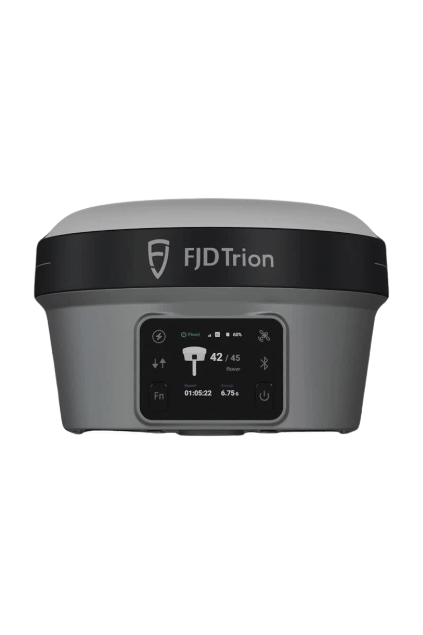
The V10Li's 1760-channel engine tracks more satellites on more frequencies than any other compact rover — 352 more channels than 1408-channel competitors. That translates to faster initialization (7 seconds typical), stronger fixes in challenging multipath environments, and tighter RTK accuracy: 6 mm + 0.5 ppm horizontal, significantly better than the industry-standard 8 mm + 1 ppm.
The Class 2M green laser reaches 80 meters — eight times the range of typical 10-meter laser RTKs. And the dual starlight cameras with global shutter deliver blur-free video photogrammetry with 3 cm visual survey accuracy at 2–15 meters. No other receiver at this weight class matches this combination.
Visible green laser at 520 nm ± 20 nm with ranging accuracy of ±(5 + 100×10⁻⁶×D) mm. Unlike invisible infrared lasers, the green beam is visible in broad daylight — you always know exactly what you're targeting. Measure bridge soffits, building facades, cliff faces, and utility structures from safe standoff distances. Eight times the reach of the V600L's 10-meter laser, making the V10Li the longest-range laser RTK in the Sicher 3D lineup.
Dual 2MP sensors with 3μm pixel pitch, global shutter (not rolling), 88° FOV. Video photogrammetry captures image groups in ~30 seconds. 3cm visual survey accuracy at 2-15m.
GPS, GLONASS, BDS, Galileo, QZSS, NavIC, SBAS — including E5 AltBOC. 6mm+0.5ppm RTK, 7s init. 352 more channels than 1408ch competitors.
8mm + 0.6mm/° tilt accuracy (0-60°). E-bubble leveling. Immune to magnetic disturbances from rebar and steel structures — no false readings near construction materials.
2W transmit, 410-470MHz / 902-928MHz. TRIMTALK, TRIMMARK III, TT450S, TRANSEOT, Satel 3AS, LoRa. Cross-brand base station compatible.
Under a kilogram with battery. IP68 dustproof and immersion-proof. Survives 2-meter pole drops onto concrete. 7000 mAh battery delivers 15 hours as rover, 10 hours as base, and 25+ hours static. 30W USB-C PD fast charging gets you back in the field significantly faster than standard 5V chargers. True color OLED touchscreen (1.41", 320×360, 274 ppi) readable in direct sunlight. Waterproof and breathable membrane prevents internal condensation.
| GNSS Signal Tracking | |
| Channels | 1760 |
| GPS | L1C/A, L1P(Y), L2C, L2P, L5 |
| GLONASS | L1CA, L2CA, L2P, L3 CDMA |
| BDS | B1I, B1C, B2a, B2I, B3 |
| Galileo | E1, E5a, E5b, E5 AltBOC |
| QZSS / NavIC / SBAS | L1C/A, L2C, L5 · L5 · EGNOS, WAAS, GAGAN, MSAS, SDCM |
| Positioning Performance | |
| High-Precision Static (H / V) | 2.5 mm + 0.1 ppm / 3.5 mm + 0.4 ppm |
| Static & Fast Static (H / V) | 2.5 mm + 0.5 ppm / 5 mm + 0.5 ppm |
| PPK (H / V) | 3 mm + 1 ppm / 3.5 mm + 1 ppm |
| RTK (H / V) | 6 mm + 0.5 ppm / 10 mm + 1 ppm |
| RTK Init Time | 7 s typical |
| SBAS / DGNSS (H / V) | 0.6 m / 0.8 m · 0.4 m / 0.7 m |
| Stand Alone (H / V) | 1.2 m / 1.9 m |
| Velocity Accuracy | 3 cm/s |
| Max Update Rate | 100 Hz (position + measurement) |
| Latency | < 10 ms |
| Time to First Fix | Cold < 45 s · Warm < 20 s · Re-acquisition 1 s |
| Tilt Survey | |
| Tilt Angle (H) | 8 mm + 0.6 mm/° tilt (0°–60°) |
| RTK + Tilt Accuracy at 30° | 2.5 cm |
| Tilt Sensor | Magnetic-immune, E-bubble leveling |
| Laser | |
| Class / Wavelength | Class 2M GREEN · 520 nm ± 20 nm |
| Range | 0 – 80 m |
| Ranging Accuracy | ±(5 + 100×10⁻⁶ × D) mm |
| Camera | |
| Sensor | Dual 2 MP · Large-format 3 μm pixel |
| Shutter / FOV | Starlight-grade global shutter · 88° |
| Visual Survey Accuracy | 3 cm (2–15 m range) |
| Video Photogrammetry | ~30 s capture · ~30 MB per group |
| Communication | |
| UHF Radio | Rx/Tx 410–470 MHz / 902–928 MHz · 2 W |
| Protocols | TRIMTALK, TRIMMARK III, TT450S, TRANSEOT, Satel 3AS 4FSK, LoRa |
| Cellular | TDD-LTE, FDD-LTE, WCDMA, EDGE, GPRS, GSM |
| Wi-Fi | 2.4 & 5 GHz · 802.11 a/b/g/n/ac · Touch pairing |
| Bluetooth / NFC | Supported |
| Ports | 7-pin LEMO · UHF antenna · USB Type-C |
| System & Data | |
| Storage | 32 GB internal |
| Display | 1.41" True Color OLED · 320×360 · 274 ppi |
| Data Formats | NMEA 0183, v2.3/v3.03/v4.0 · RINEX v2.x/v3.x · RTCM v2.x/v3.x (MSM) · CMR v2.0, CMR+ |
| Power | |
| Battery | 7,000 mAh · 7.4 V · Built-in |
| Rover / Base / Static | 15 h / 10 h / > 25 h |
| Charging | 30 W PD Fast Charge · USB-C |
| External Power | 9–28 V DC |
| Physical & Environmental | |
| Dimensions | φ 130 × 83 mm |
| Weight | Approx. 980 g |
| Operating Temperature | −35 °C to +65 °C |
| Storage Temperature | −40 °C to +70 °C |
| IP Rating | IP68 |
| Drop Test | 2 m pole drop |
| Membrane | Waterproof & breathable (anti-condensation) |
2.5mm+0.1ppm static. The tightest specs in the lineup for control network establishment and high-order survey campaigns.
80m green laser measures soffits, abutments, and facades from ground level. No scaffolding, no access platforms.
6mm+0.5ppm RTK precision for foundation layout, column positioning, and high-accuracy as-built verification.
Starlight camera with video photogrammetry captures georeferenced image groups for remote office review and as-built documentation.
100Hz update rate and 3cm/s velocity accuracy for dynamic positioning along road and railway corridors.
IP68 and -35°C to +65°C operating range. Green laser measures stockpile faces and pit walls from safe standoff distances.
Talk to our sales engineers about V10Li configuration, pricing, and on-site demo. We'll help you compare against the Hi-Target lineup and spec the right system for your project.