products
Survey Equipment in Dubai & UAE — Total Stations, RTK GNSS, LiDAR.
From robotic total stations and centimeter-grade RTK receivers to handheld LiDAR scanners and permanent CORS infrastructure — everything a modern surveyor needs, calibrated and ready to deploy.
Total Stations built for the field, not the lab.
Angular accuracy you can rely on, intuitive interfaces that survey crews actually want to use, and the kind of mechanical stability that survives long days on rough sites.
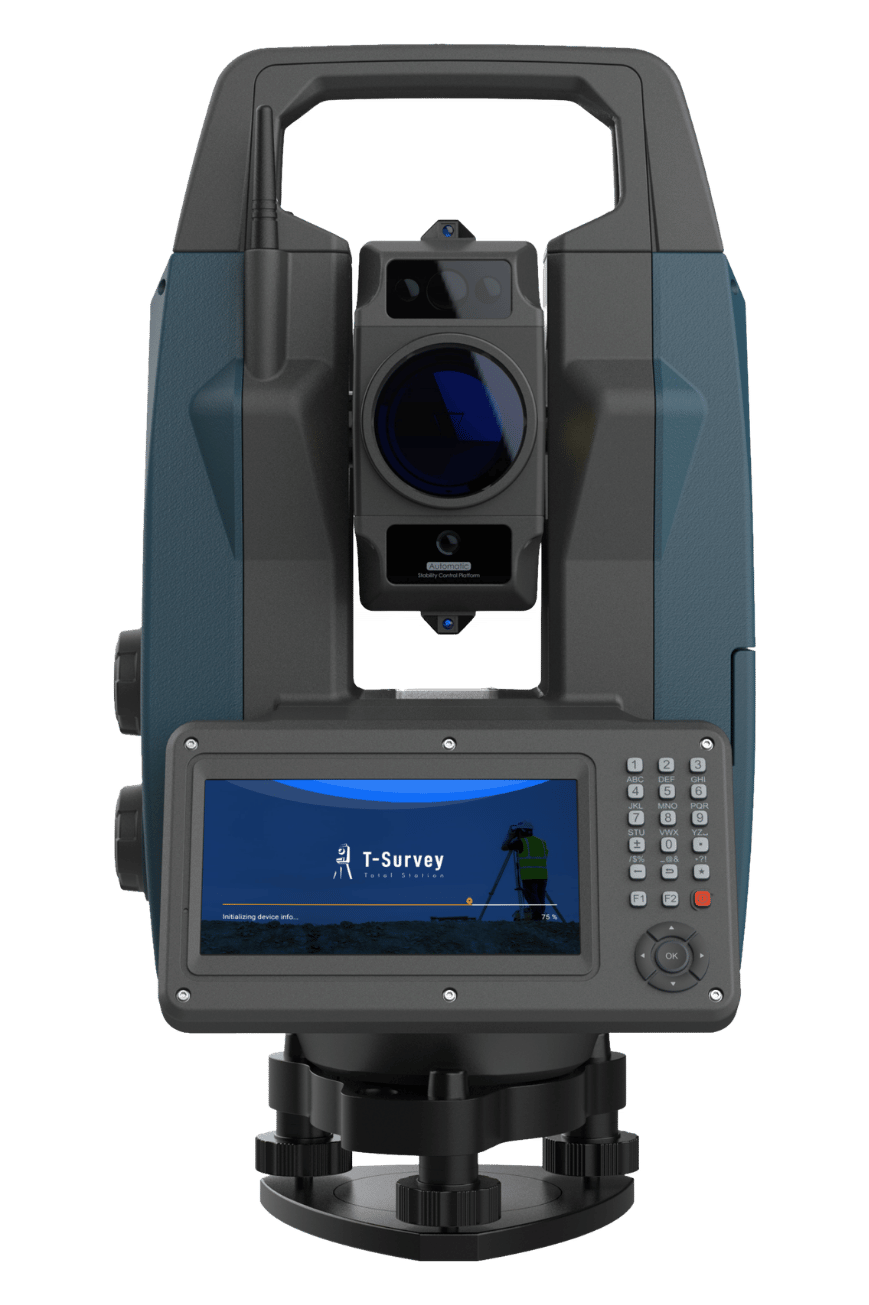
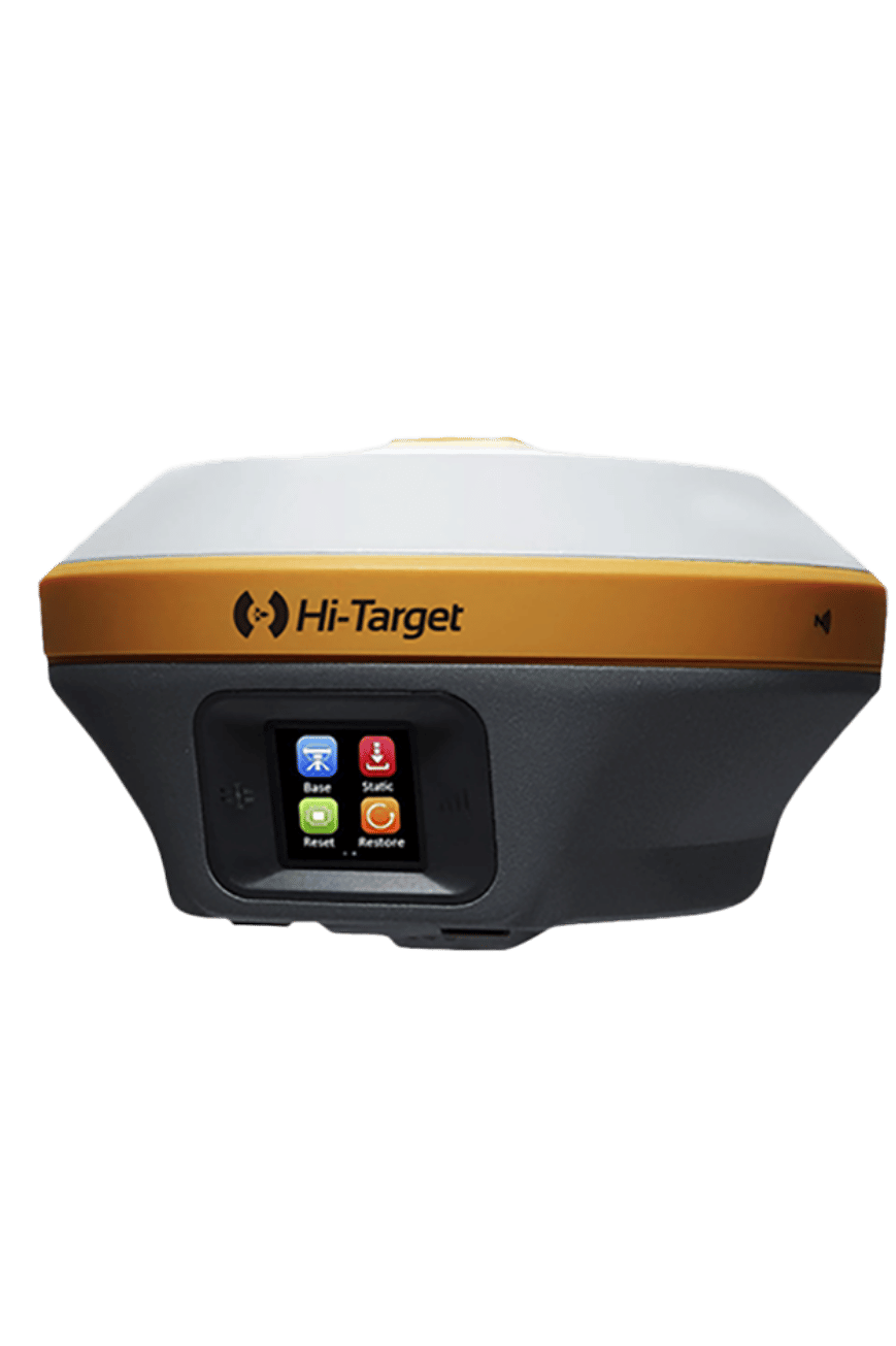
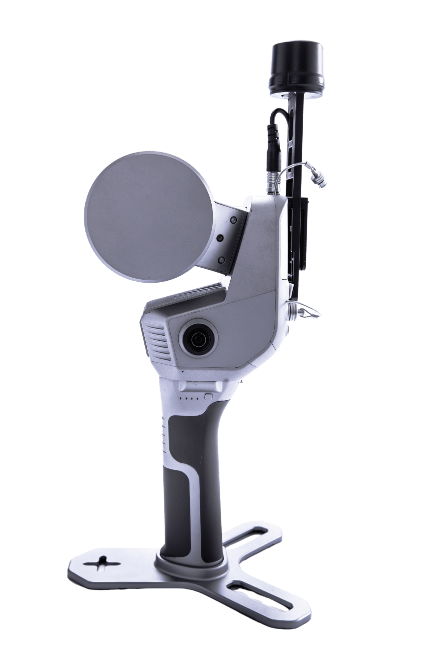
HTS-820 Robotic
One-person operation. Fully motorized servo drives with automatic target tracking — designed for productivity without compromise.
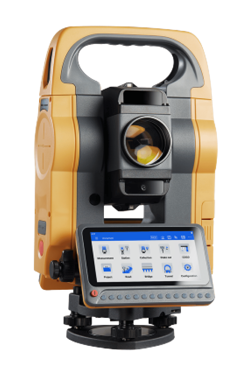
HTS-720 Android
Familiar Android interface meets surveying precision. Run native field software, manage projects, and sync data — all from the instrument itself.
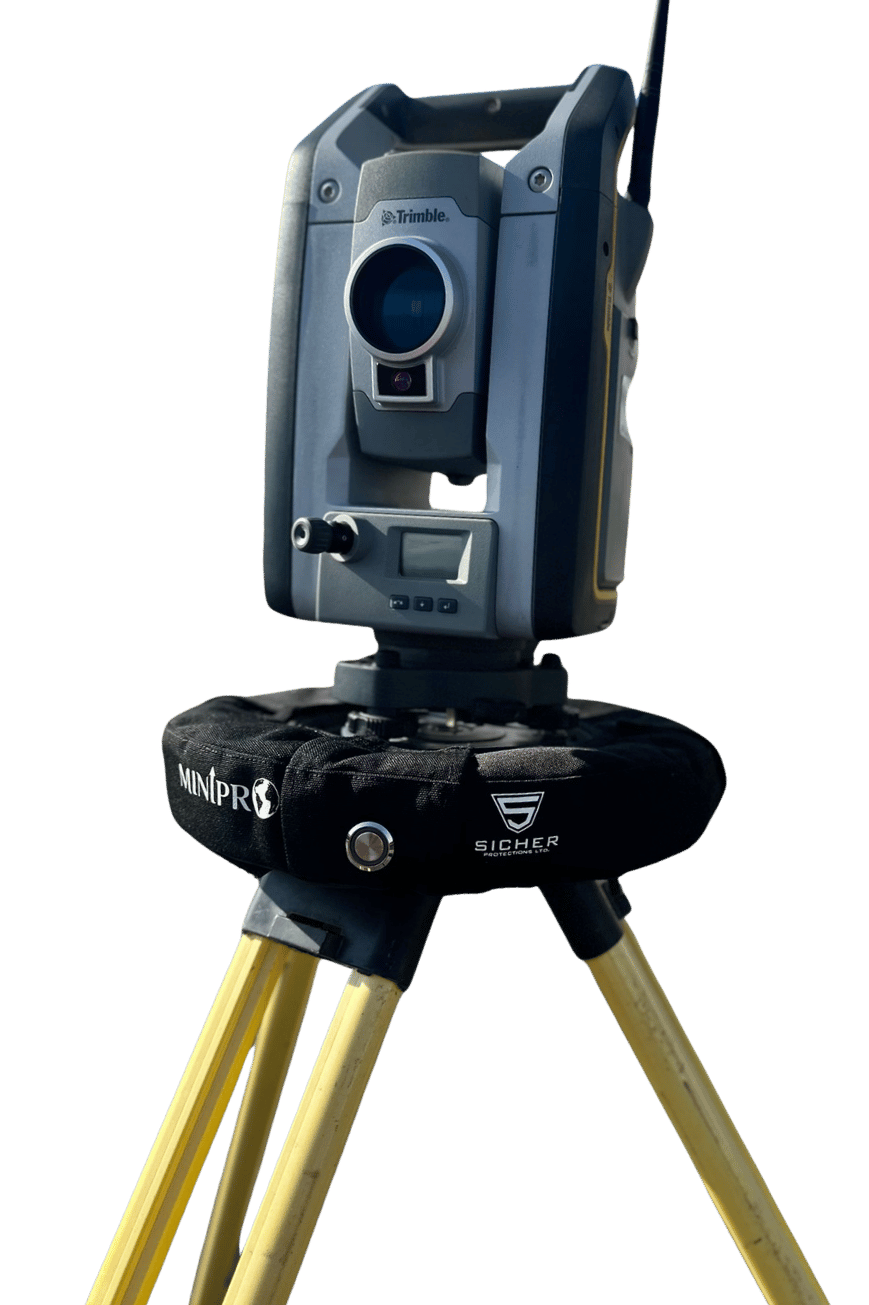
MiniPro
Intelligent airbag protection for total stations. Sensor-triggered and fully deployed in 0.01 seconds — before your instrument ever hits the ground.
RTK GNSS receivers with centimeter-grade certainty.
Real-time corrections powered by GPS, GLONASS, Galileo, and BeiDou — turning satellite signals into field measurements you can stake out with confidence. From entry-level rovers to laser-equipped flagships.
V700S RTK
Top-tier GNSS receiver engineered for survey crews who need reliability in every constellation, every frequency, every condition.

V600L Laser RTK
Built-in laser ranging extends your reach beyond the pole — measure points you can't physically stand on without leaving the receiver.
iRTK5
Field-proven RTK receiver that strikes the right balance between price and performance — the workhorse of countless survey teams.
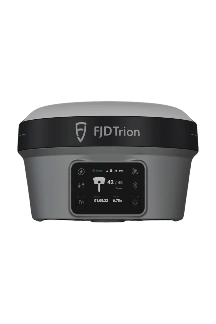
FJD Trion V10Li
Compact RTK system from FJDynamics — fast initialization, IP68 build, and a cloud-connected workflow purpose-built for modern teams.
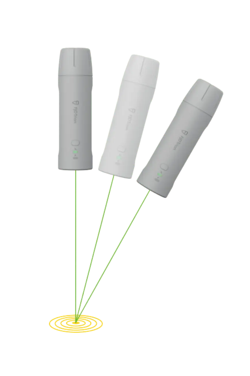
FJD Trion V4E Mini
Pocketable RTK with full multi-constellation tracking. Drops into any workflow — perfect for utility mapping, GIS data collection, and quick stake-outs.
Walk through a site. Bring back a 3D model.
GeoSLAM's handheld and mobile LiDAR scanners replace static tripods with continuous motion capture — surveying interiors, tunnels, and complex spaces in minutes, not hours.
GeoSLAM 200E
Entry-level handheld LiDAR scanner with simultaneous localization & mapping. Capture millions of points per second while you walk the site.
GeoSLAM 200
Vehicle-, backpack-, or drone-mounted mobile mapping platform for surveying large outdoor environments at walking speed or faster.
The reference network behind every precise measurement.
Permanent CORS receivers, choke-ring antennas, and geodetic-grade hardware. The unglamorous infrastructure that anchors entire networks and delivers sub-centimeter corrections to thousands of GNSS rovers.
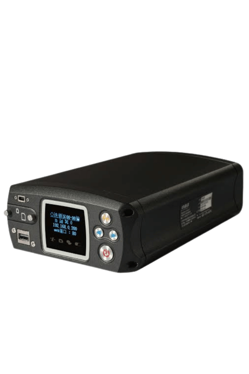
VNet8
Multi-frequency, multi-constellation reference receiver engineered for permanent CORS deployment. The backbone of nationwide positioning networks.
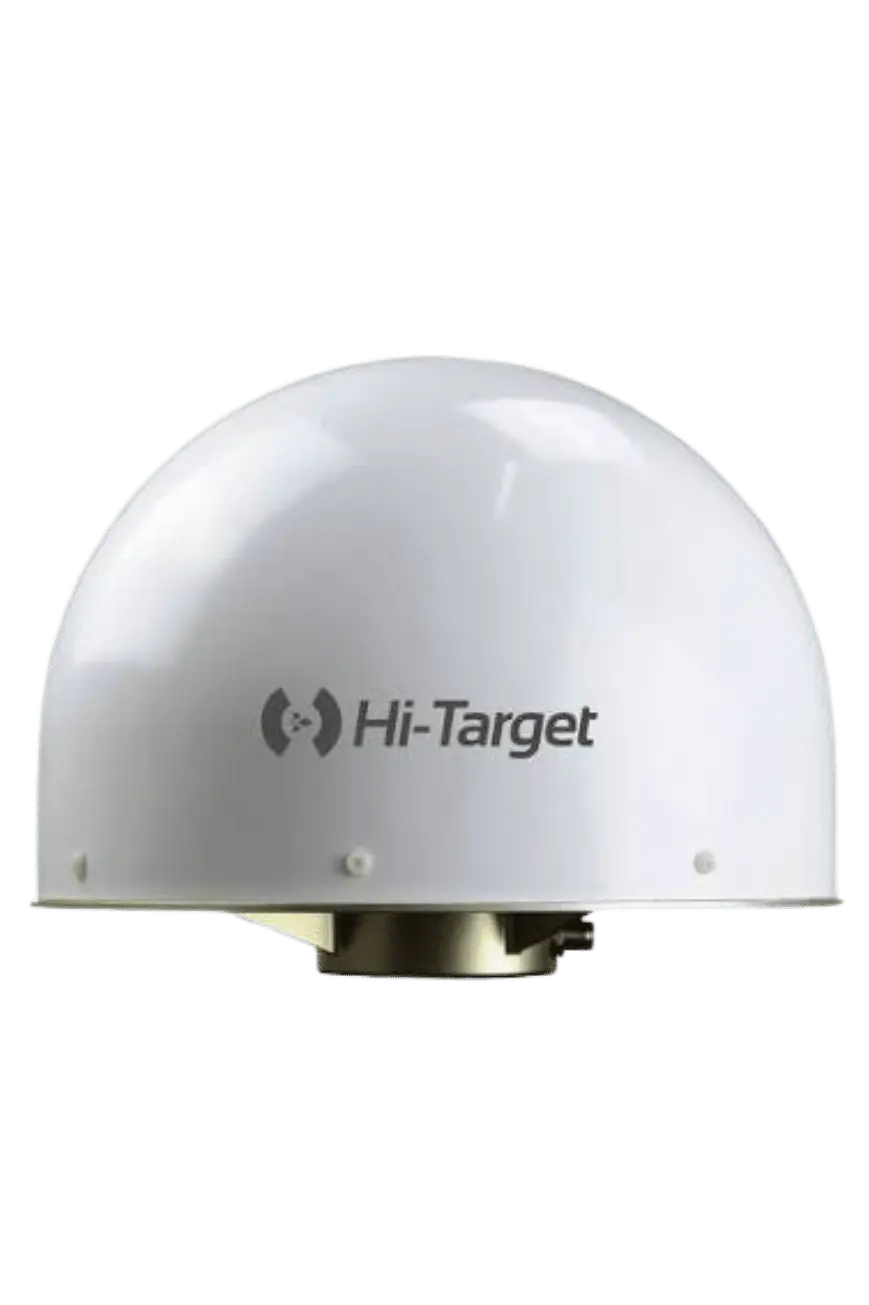
AT-45101CP
3D choke-ring antenna engineered for IGS-class CORS stations. Superior multipath rejection for the most demanding reference applications.

AT-35101H
Geodetic-class GNSS antenna with stable phase center for reference stations and high-accuracy survey applications.
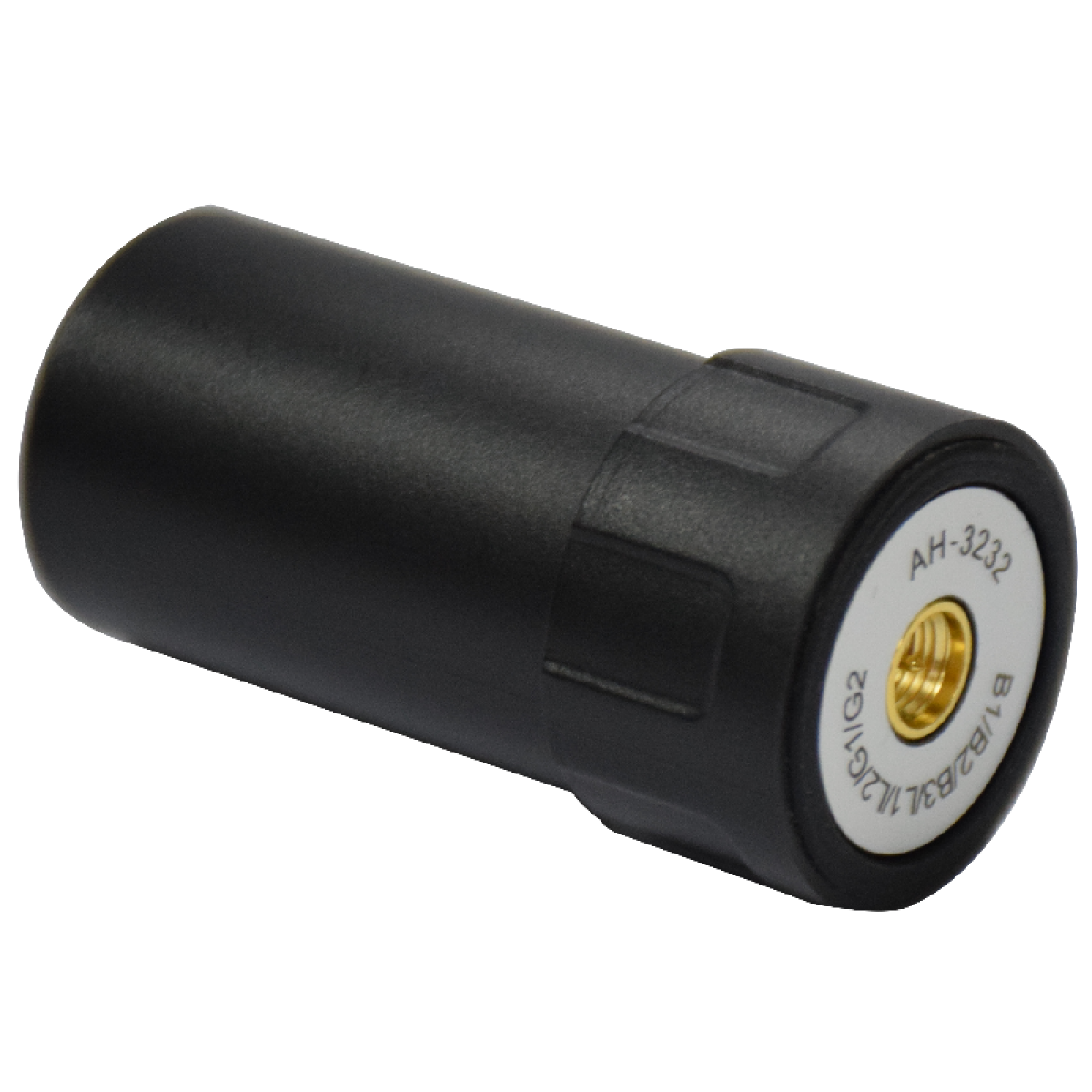
AH-3232
Dual-band helical GNSS antenna. Compact, lightweight, and designed for integration into rover receivers, UAVs, and embedded positioning systems.
Not sure which equipment fits your project?
Our team can spec the right combination of instruments, antennas, and field software for your survey workflow — at a price that respects your budget.