Boundary Surveys
Walk property lines with the V4E in hand. Mark corners, verify encroachments, collect boundary coordinates — no pole setup at every point.


The V4E breaks every assumption about what an RTK receiver looks like. Hold it in your hand while walking a boundary. Set it on a fence post for a quick check. Clip it to a drone for PPK. At 320 grams, it goes where full-sized rovers can't — and delivers the same 8 mm + 1 ppm accuracy that professional surveying demands. The Pro version adds a built-in IMU for 30° tilt compensation and a LiDAR rangefinder with ±3 mm precision.
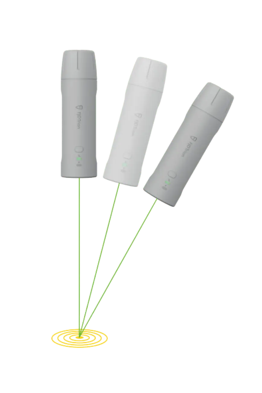
Traditional RTK requires a pole, a bipod, a controller, and a heavy receiver on top. The V4E eliminates all of that. Hold it in one hand while walking a property line. Set it on a fence post. Drop it in a backpack between sites. The 1/4-inch thread mount lets you attach it to any camera tripod, vehicle roof rack, or drone integration plate.
Despite its size, the V4E tracks 1408 channels across GPS, BDS, GLONASS, Galileo, QZSS, and SBAS with the same sub-centimeter accuracy as full-sized receivers. RTK initialization takes less than 5 seconds. Battery lasts 12 hours. And IP67 waterproofing means rain, mud, and dust don't slow you down.
Hold it in your hand. Set it on a surface. Mount it via 1/4-inch thread. The V4E removes every piece of ancillary equipment from the RTK workflow. Walk a boundary, scout a farm field, check a grade, verify a utility location — all with centimeter accuracy and nothing but the receiver in your hand. For teams that move between many small tasks per day, the time saved on setup alone pays for the device.
GPS, BDS, GLONASS, Galileo, QZSS, SBAS — including B2b* and E6* via firmware. Same channel count as full-sized Hi-Target rovers. No compromise on signal tracking.
Built-in IMU compensates up to 30° tilt with ≤3 cm at 3 m. LiDAR rangefinder adds ±3 mm precision at 10 m for point targeting. No centering rod needed.
Full work day. 5V/2A USB-C charging from any smartphone charger. ≤3 hours to full. 1.2m drop-rated PC+ABS shell. IP67 waterproof.
Bluetooth 4.0 dual-mode pairs with iOS/Android. WiFi 2.4G base station mode provides 300m local correction range. NTRIP support via RTCM 2.3 / 3.x / CMR.
8 mm + 1 ppm horizontal RTK. 15 mm + 1 ppm vertical. Less than 5-second initialization with greater than 99.9% reliability. Data output at 1/2/5/10/15/20 Hz in NMEA-0183 format — compatible with virtually every third-party GIS and survey data collection app on iOS and Android. Cold start under 30 seconds. Hot start under 5 seconds. Signal re-acquisition in 1 second. The V4E makes professional GNSS positioning accessible to anyone who can press a button.
| GNSS Signal Tracking | |
| Channels | 1408 |
| GPS | L1C/A, L2P, L5 |
| BDS | B1I, B2I, B3I, B1C, B2a, B2b* |
| GLONASS | G1, G2 |
| Galileo | E1, E5b, E5a, E6* |
| QZSS / SBAS | L1, L2, L5 / L1C/A |
| Positioning Performance | |
| RTK (H / V) | ≤ 8 mm + 1 ppm / ≤ 15 mm + 1 ppm |
| DGPS (H / V) | ≤ 0.4 m / ≤ 0.8 m |
| Single Point (H / V) | ≤ 1.5 m / ≤ 2.5 m |
| RTK Init Time | < 5 s |
| Init Reliability | > 99.9% |
| Time to First Fix | Cold ≤ 30 s · Hot ≤ 5 s |
| Signal Re-acquisition | ≤ 1 s |
| Data Update Rate | 1 / 2 / 5 / 10 / 15 / 20 Hz |
| Time Accuracy | 20 ns |
| Velocity Accuracy | 0.03 m/s |
| Tilt & Laser (Pro Version) | |
| Tilt Survey | ≤ 3 cm at 3 m (up to 30°) |
| LiDAR Rangefinder | ± 3 mm at 10 m |
| IMU | Built-in (Pro only) |
| Communication | |
| Bluetooth | BT 4.0 Dual-mode · 5 m range |
| Wi-Fi | 2.4 GHz · Base station mode · 300 m range |
| Data Formats | RTCM 2.3, RTCM 3.x, CMR, NMEA-0183 |
| Interface | USB 2.0 Type-C |
| Power | |
| Battery Life | ≥ 12 hours |
| Charging | 5 V / 2 A USB-C · ≤ 3 h full |
| Power Consumption | ≤ 1.5 W |
| Physical & Environmental | |
| Dimensions | 182 × 53 × 53 mm |
| Weight | 320 g |
| Shell Material | PC + ABS |
| Mount | 1/4" thread internal interface |
| Operating Temperature | −20 °C to +60 °C |
| Charging Temperature | 0 °C to +45 °C |
| IP Rating | IP67 |
| Drop Protection | 1.2 m anti-drop |
Walk property lines with the V4E in hand. Mark corners, verify encroachments, collect boundary coordinates — no pole setup at every point.
Asset mapping, utility inventory, environmental monitoring, and municipal GIS — centimeter positioning with a device lighter than your phone.
Field boundary mapping, soil sampling positions, drainage planning, and crop scouting — all without carrying survey equipment through muddy fields.
Verify a grade, check a benchmark, confirm a utility location. The V4E is the receiver you grab when a full setup isn't worth the time.
Mount via 1/4" thread for drone-based PPK workflows. At 320g, the V4E adds minimal payload to small and medium UAV platforms.
Teach GNSS concepts with real centimeter-level hardware at a fraction of full-system cost. Simple single-button operation.
Talk to our sales engineers about V4E standard vs Pro, pricing, and multi-unit discounts for your team.