


Key takeaways
- E57 = open ASTM E2807 exchange format; works across most scanner and CAD software.
- RCP = Autodesk ReCap project file that links to one or more RCS scan files.
- Revit and AutoCAD attach RCP/RCS; E57 is first converted in Autodesk ReCap.
- Always send the RCP together with its RCS files, or the point cloud will appear missing.
What is an E57 file?
An E57 file (.e57) is an open, vendor-neutral format for 3D imaging data, published by ASTM as ASTM E2807. It can store point coordinates, intensity, colour, the scanner positions and panoramic images in one file.
Because it is open, E57 is supported by most scanner software and many CAD, GIS and point cloud tools. That makes it the safest format for sharing between companies and for long-term archiving.
What is an RCP file?
An RCP file (.rcp) is an Autodesk ReCap project. It does not hold all the points itself; it links to one or more RCS files (.rcs), each containing an indexed scan. The indexing lets Autodesk software display very large point clouds smoothly.
RCP/RCS is the native point cloud format for Autodesk Revit, AutoCAD, Civil 3D and Navisworks, which is why most scan to BIM teams in the UAE work with it.
Sending only the .rcp file. Without its RCS scan files in the same folder structure, the project opens empty. Send the whole folder, zipped.
RCP vs E57 at a glance
| RCP / RCS | E57 | |
|---|---|---|
| Owner | Autodesk (proprietary) | ASTM E2807 (open standard) |
| Structure | Project file + linked RCS scans | Single self-contained file |
| Best for | Revit, AutoCAD, Navisworks, Civil 3D | Exchange between any software, archiving |
| Opens directly in Revit/AutoCAD | Yes | No – convert in ReCap first |
| Stores images and scan positions | Depends on ReCap project | Yes, if exported with them |
| File handling | Keep RCP and RCS together | One file, easy to share |
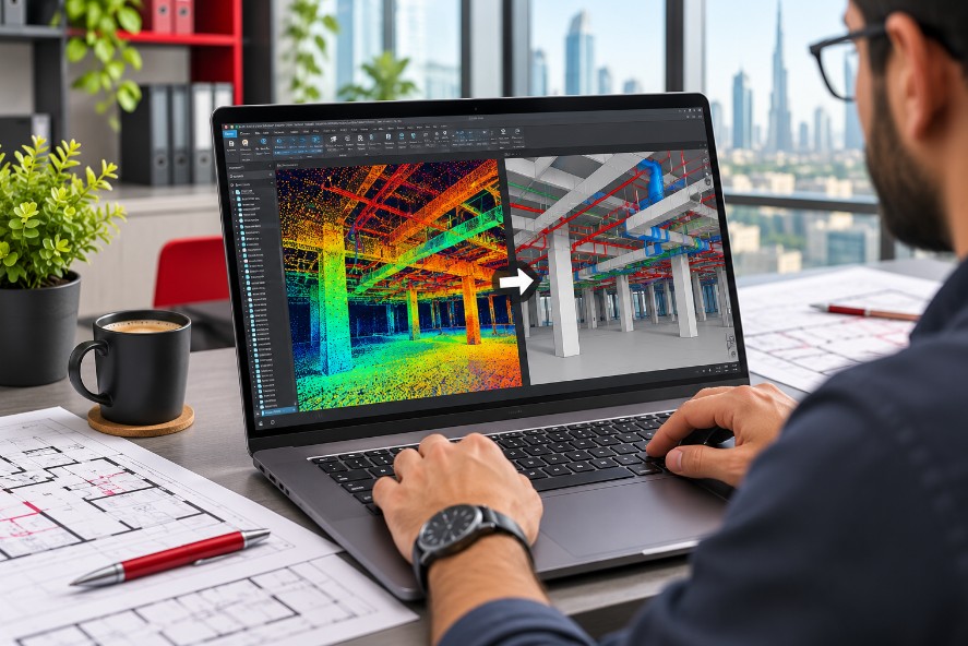
How to open an E57 file in Revit or AutoCAD
- 1
Open Autodesk ReCap
Create a new project and import the .e57 file. ReCap indexes the scan data.
- 2
Save the project
ReCap saves an .rcp project with .rcs scan files in a support folder.
- 3
Attach in Revit or AutoCAD
In Revit use Insert › Point Cloud; in AutoCAD use Attach › Point Cloud, and select the .rcp file.
- 4
Check the position
Choose the correct positioning (for example, origin to origin or shared coordinates) so the cloud lines up with your model.
Which format should you ask for?
| Your situation | Ask for |
|---|---|
| You model in Revit or draw in AutoCAD | RCP/RCS |
| You use non-Autodesk software (e.g. other BIM, GIS or scan tools) | E57 |
| Several companies share the data | E57 + RCP |
| Long-term archive or facility management | E57 (plus RCP for daily use) |
| Aerial or terrain survey | LAS/LAZ is also common |
Sicher 3D delivers registered point clouds in RCP and E57 as standard deliverables of its 3D laser scanning service. See how the files are used in Scan to BIM process explained.
Other point cloud formats you may see
- LAS / LAZ: the standard for aerial LiDAR and terrain; LAZ is the compressed version.
- PTS / PTX: simple text-based scanner exports; large and not indexed.
- XYZ / TXT: plain lists of coordinates, sometimes with colour; easy to read but very large.
- Scanner-native formats: each manufacturer has its own format, normally converted to E57 or RCP for delivery.
Frequently asked questions
What is an E57 file?
An E57 file is an open, vendor-neutral format for 3D point cloud data, published as ASTM E2807. It can store point coordinates, intensity, colour, scanner positions and images, and most scanning and CAD software can read it.
What is an RCP file?
An RCP file is an Autodesk ReCap project file. It links to one or more RCS scan files and is the point cloud format that Revit, AutoCAD, Civil 3D and Navisworks attach directly.
What is the difference between RCP and E57?
E57 is an open, single-file exchange format that works across most software. RCP is Autodesk's proprietary project format that links to RCS scans and is optimised for Autodesk tools. Many projects deliver both.
How do I open an E57 file in Revit?
Revit does not attach E57 directly. Import the E57 into Autodesk ReCap, save it as an RCP project, then in Revit use Insert › Point Cloud and select the RCP file.
How do I convert E57 to RCP?
Open Autodesk ReCap, create a new project, import the E57 file and save. ReCap writes an RCP project file with indexed RCS scan files that you can attach in Revit or AutoCAD.
Why does my RCP file open empty?
The RCP file only links to its RCS scan files. If they were not copied with it, or the folder structure changed, the project has no data to show. Ask for the complete folder as a zip.
Which point cloud format is best?
For Autodesk users, RCP/RCS is the most practical. For sharing between companies and archiving, E57 is safest because it is an open standard. Asking for both covers every case.